15 May 2014- The Department of Science and Technology (DOST) and the National Engineering Center of the University of the Philippines – Diliman were conferred the Geospatial World Policy Award for their “Exemplary Implementation of Geospatial Policies and Programs,” specifically for the Disaster Risk and Exposure Assessment for Mitigation (DREAM) Program.
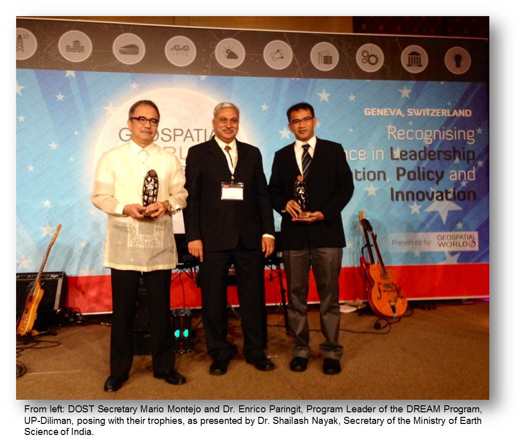
Dr. Shailash Nayak, Secretary of the Ministry of Earth Science of India, presented the trophies and certificates to DOST Secretary Mario Montejo and to Dr. Enrico Paringit, Program Leader of the DREAM Program, at the Awards Night and Gala Dinner of the Geospatial World Forum 2014 on May 8.
Secretary Montejo said that the award “affirms the validity of our approach that an internally-driven science, technology and innovation policy reaps the greatest benefits. This starts with collaborating with institutions willing to share knowhow, acquiring the best tools and equipment, and, most importantly, building one’s own internal capacity.”
Ambassador Cecilia B. Rebong, Permanent Representative of the Philippine Mission to the United Nations and other International Organizations in Geneva, congratulated the DOST for its support of the DREAM Program, and expressed hope for the further application of technologies for the benefit of the Filipino people.
The DREAM Program aims to deploy technologies to provide the necessary information for early warning and advisory to communities on impending floods, landslides and storm surges. Extensive mapping of major river basins in the Philippines using LiDAR technology has been undertaken with the aim of mitigating disasters due to flooding.
LiDAR, which stands for Light Detection and Ranging, is a technology which DREAM introduced in the Philippines in 2012 to generate high-resolution images of the country’s topography, which are turned into 3D maps and flood hazard maps that identify safe and danger zones on a particular area.
A key feature of the DREAM Program is its emphasis on developing local capacity in geospatial technologies for disaster management. The Program created a large pool of highly skilled and trained LiDAR and flood mapping experts, many of whom have taken their knowledge to build further applications.
DREAM is a component of the DOST’s Project NOAH (Nationwide Operational Assessment of Hazards) and being implemented by the UP Training Center for Applied Geodesy and Photogrammetry. END