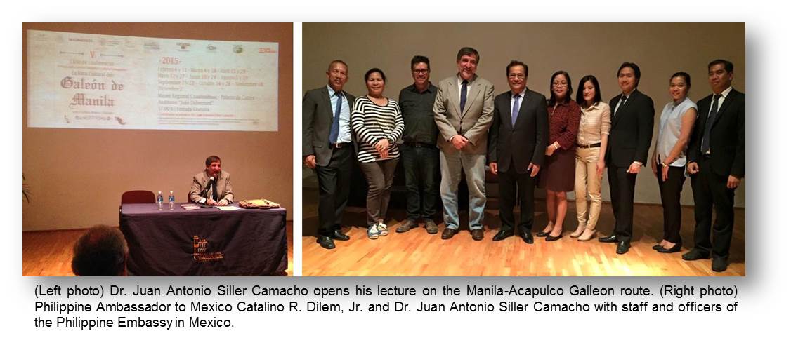
09 March 2015 – Philippine Ambassador to Mexico Catalino R. Dilem, Jr. and several members of the Philippine Embassy attended a lecture on the Cultural Route of the Manila Galleon on March 04, the third in the 5th Cycle of Interviews and Conferences on Retrieving our Shared Cultural Heritage. The event was held at the Museo Regional de Cuauhnahuac of the Palacio de Cortés, in the city of Cuernavaca, Morelos.
The resource speaker, architect and archaeologist Dr. Juan Antonio Siller Camacho of the National Autonomous University of Mexico (UNAM / Universidad Nacional Autónoma de México) and the National Institute for Anthropology and History (INAH / Instituto Nacional de Antropologia y Historia), was the overall coordinator of the conference series. Dr. Siller is also working closely with the Philippine Embassy to organize additional activities throughout 2015 to commemorate the 450th anniversary of the Manila-Acapulco Galleon Trade.
Dr. Siller’s presentation centered on the cartography of the Galleon Trade route, across the Pacific Ocean, down the coast of Latin America, and onward to the Iberian Peninsula. He also presented several dozen maps showing the various routes taken by Spanish ships across the Pacific, until they were able to return, arriving at the port of Acapulco.
With the discovery of the return route, the Spanish were able to import valuable Asian products, comestibles, and raw materials that had never been seen in the Americas, and vice versa.
Dr. Siller likewise presented diagrams of the various forts set up by the Spanish to defend their ports in Mexico and the Philippines, including Fort Santiago in Manila. In addition, he showed layouts and paintings of the colonial-era parian or marketplace in the center of Mexico City. Though this marketplace no longer exists, the word Filipino word parian remains a part of the Mexican vocabulary to this day, used as a term for a shopping area.
Other advances made by the Spanish during this era included the charting of the South American region and the creation of an artificial island in the middle of the port of Cavite, Philippines, to create a harbor deep enough for galleons to dock. END